|
Listen to this article |

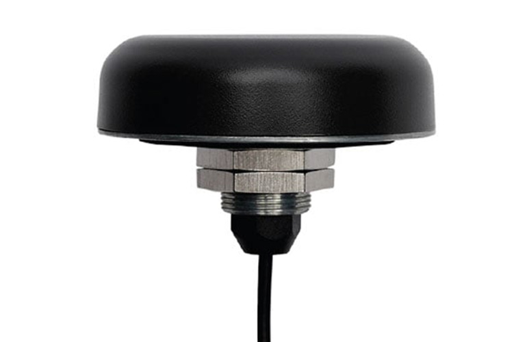
Calian’s Smart Antenna is equipped with the Polaris RTK network from Point One. | Source: Point One Navigation
Calian, a longtime provider of accurate and interference-free data from Global Navigation Satellite Systems (GNSS), has combined its Smart Antenna with Point One Navigation’s Polaris RTK network. The companies said that by offering the two together, Calian can offer high precision in a single, streamlined package.
Calian provides data for various applications, from precision agriculture to autonomous vehicles. No matter how clear the signal is, however, GNSS has its limitations. This means the company needed additional corrections to achieve true precision. With RTK, positioning accuracy can be improved to about one centimeter, said Calian.
It combined its premium antennas with and Point One Navigation’s receivers to create “smart antennas.” These antennas offer more options for achieving precision positioning. Calian claimed that this offers users an all-in-one, real-time positioning system that can provide accurate measurements.
“It’s one thing to work with people who are deploying their own base stations and their own networks, but Point One has a fairly universally available, excellent Network RTK service,” stated Gordon Echlin, director of business development for smart antennas at Calian. “We wanted to be able to tap into that and make that available to our customers for this new smart antenna.”
 Submit your presentation idea now.
Point One makes scaling operations easier, Calian says
The companies said that Point One’s technology makes it easier for end users to move or scale operations. Within the U.S., the Polaris network allows customers to move across state lines without having to set up or reconnect to a new network.
Outside of the U.S., Polaris’ built-in local-datum capabilities enable quick conversion to the relevant datum for the end user’s particular location. Point One says that no matter where the customer is located, once it’s established with Polaris, the system automatically works wherever the customer goes within the service area.
Calian said that adding RTK provides extreme accuracy, upholding its core value proposition. This extra layer of connection, however, requires additional integrations and setup, not to mention reliance on a third-party RTK network. If any of those falters, the resulting measurements and user experience will suffer.
“With other solutions, we had to download an encryption key and put it in the antenna. We don’t need to do that with Polaris,” Echlin said. “You just use the NTRIP client, you configure your antenna as a base or a rover, authenticate with Polaris, and you’re working — in minutes.”
Founded in 2016, Point One has over 40,000 active devices per day in 29 countries. It said its positioning API is 100 times more accurate than GPS, and has coverage in the U.S., the EU, the U.K., Australia, South Korea, and more.
